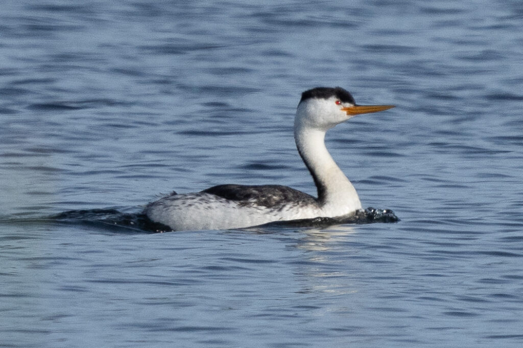
Saturday morning I decided to head down to Santa Margarita Lake before the storm system moved through. I’d been hoping to have some good light to get some pictures of my current nemesis bird, Clark’s Grebe. I was able to see a few things.
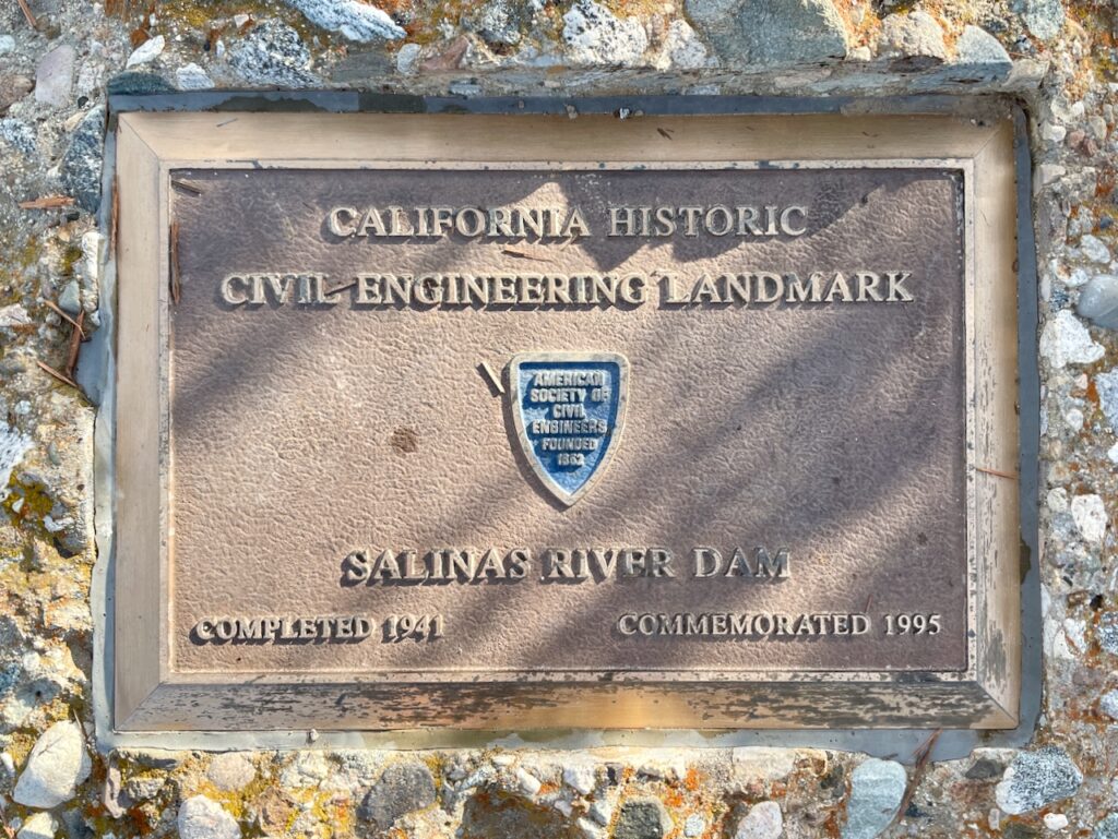
First stop, as usual, was at the northernmost road-accessible point, Mackey Point, where there is a historical marker commemorating the creation of the lake in 1941 via construction of the dam on the Salinas River.

Salinas Dam, Salinas River near Pozo Road, Santa Margarita, Photo from Survey HAER CA-184, Library of Congress.
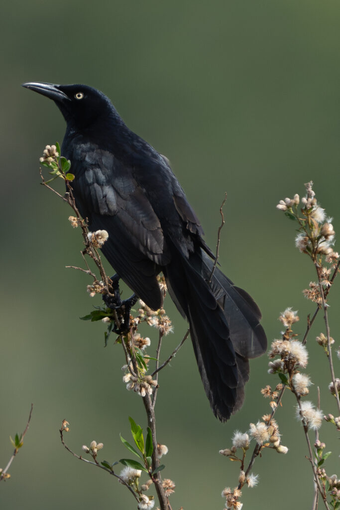
The headland of the point offers nice views of Murphy Bay to the west and the rest of the lake to the east, and next time I have my landscape photographer with me, I’ll be able to post pictures! For today, just know that while hiking a very short trail there, I saw a Bald Eagle, a few Western Grebes, Red-winged Blackbirds, and a Great-tailed Grackle.
From Mackey Point I set out to see the rest of the lake. I bypassed the Marina (the sun was still quite low on the horizon so there was nothing but glare there) and headed directly out to White Oak Flat, where there’s a boat launch, a picnic area, and a couple of trailheads.
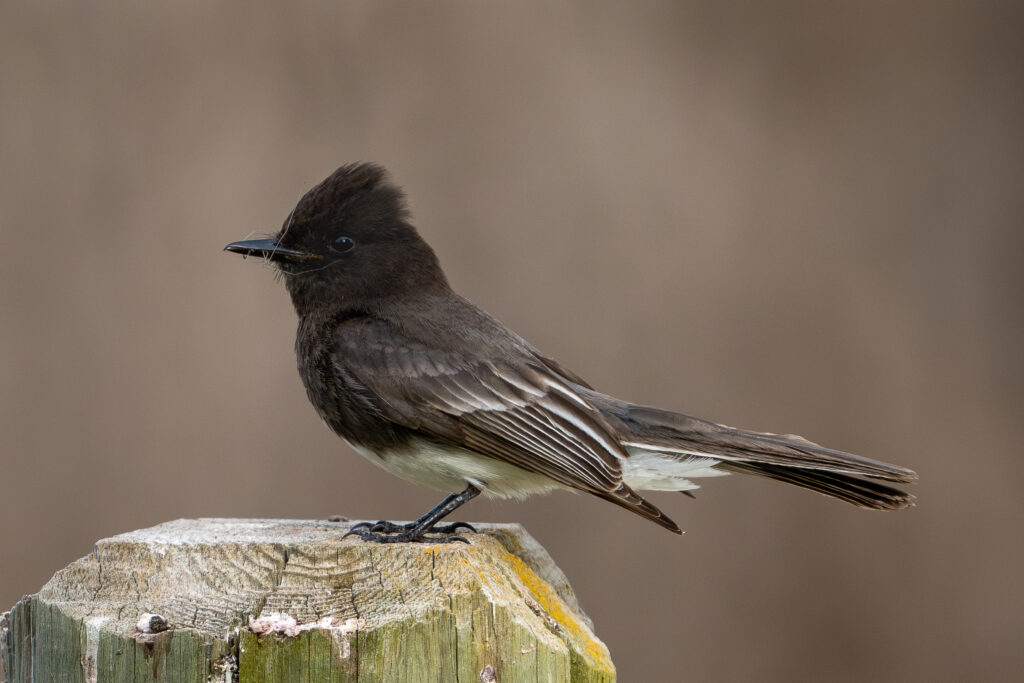
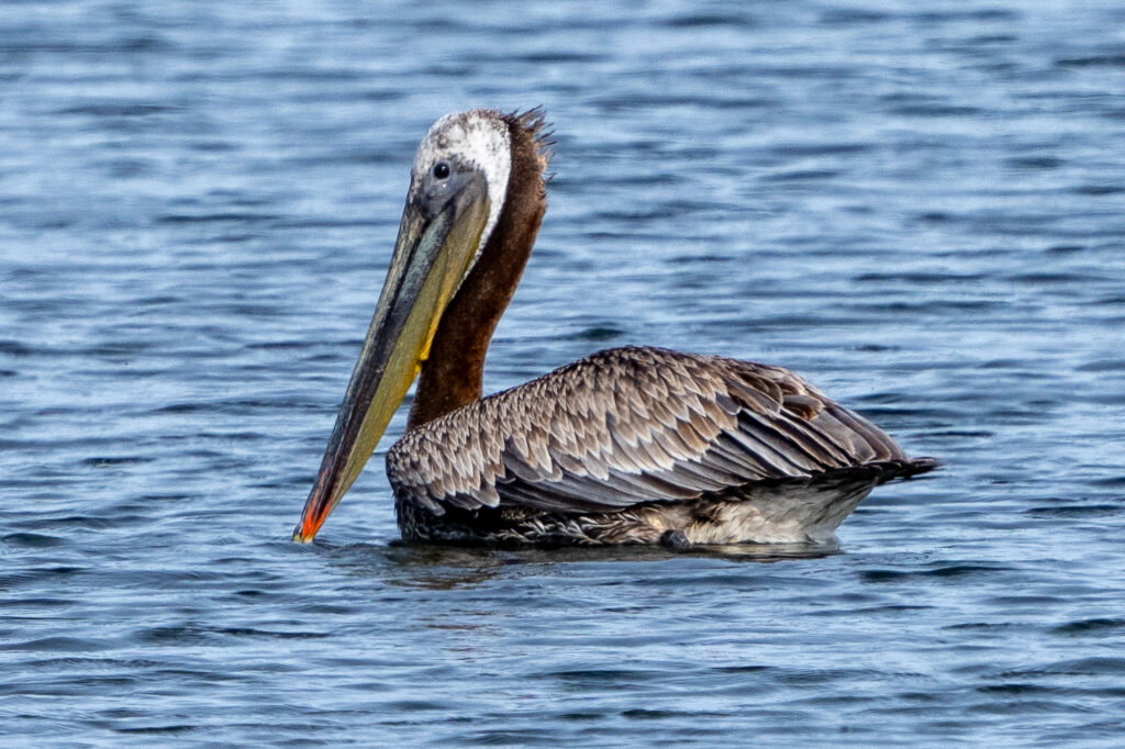
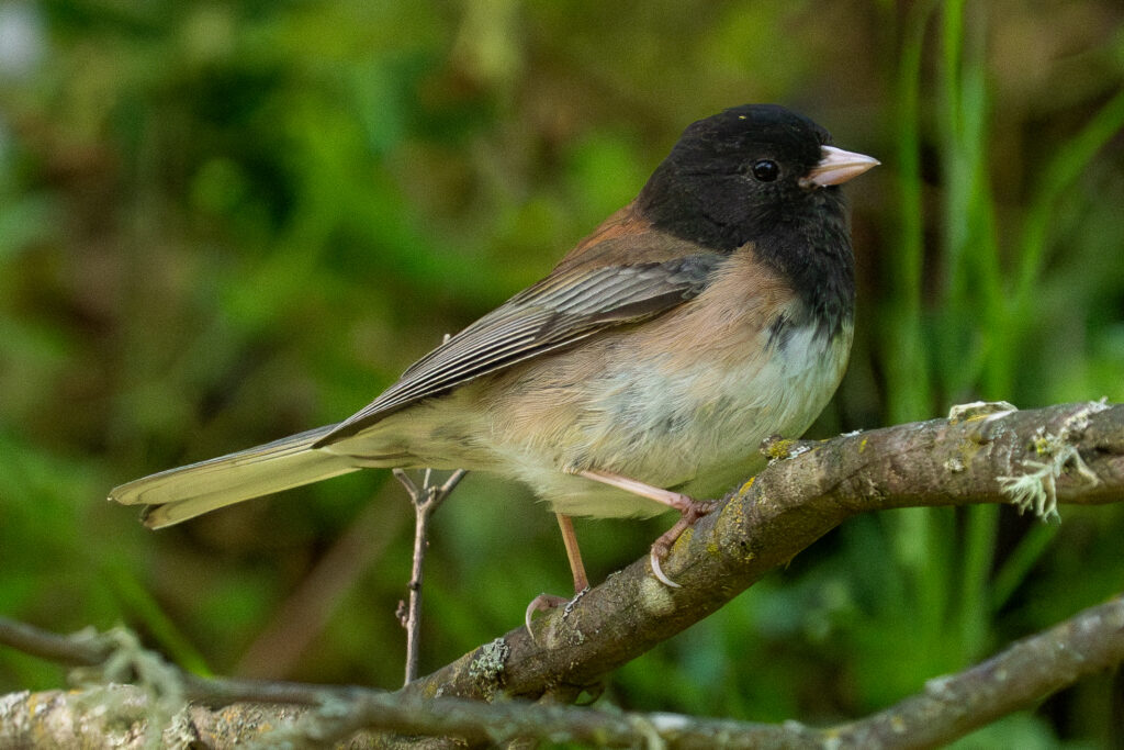
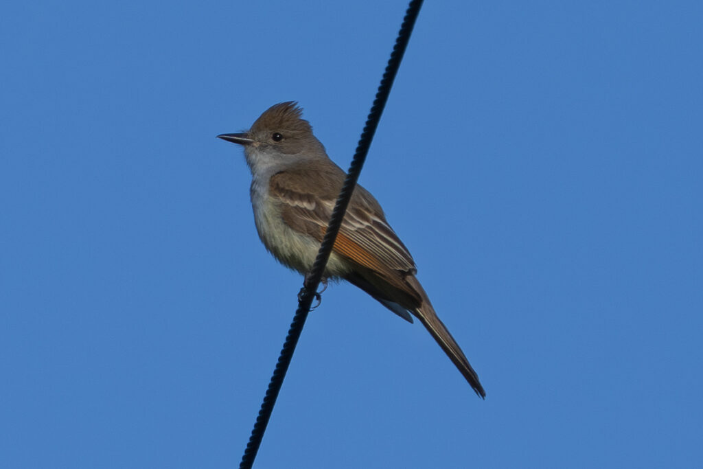
I went out the Vaca Road trail for a little ways, just enough to test that it looks like a fun hike, and saw a few more birds. I never did get a fabulous photo from this trip, but here’s a little gallery of shots that came out OK:
