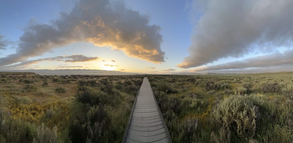
Left the house at 0500 for the 60+ mile drive out Hwy 58 to Carrizo Plain National Monument. We were hoping to beat the weather, which was already cold, windy, and drizzly here at Pica Ranch. And in that, we were successful. The sunrise over the Temblors was clear and beautiful, while we could see the clouds of the storm system hovering to the west over the Caliente Range:
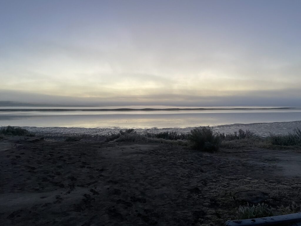
We arrived at the Soda Lake boardwalk parking lot at 0619. Temperature was in the high 30s, and the walk to the boardwalk was dry, a nice change from last Saturday’s excursion that saw me walking through mud in a thick fog with temps in the mid 20s!
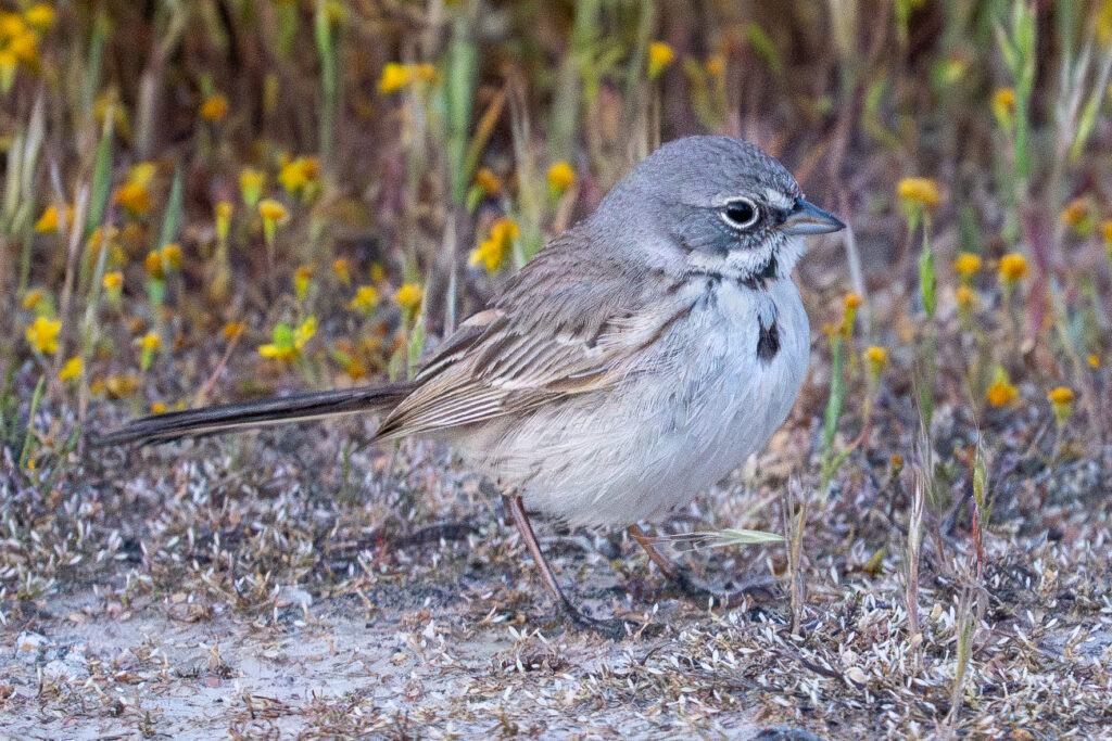
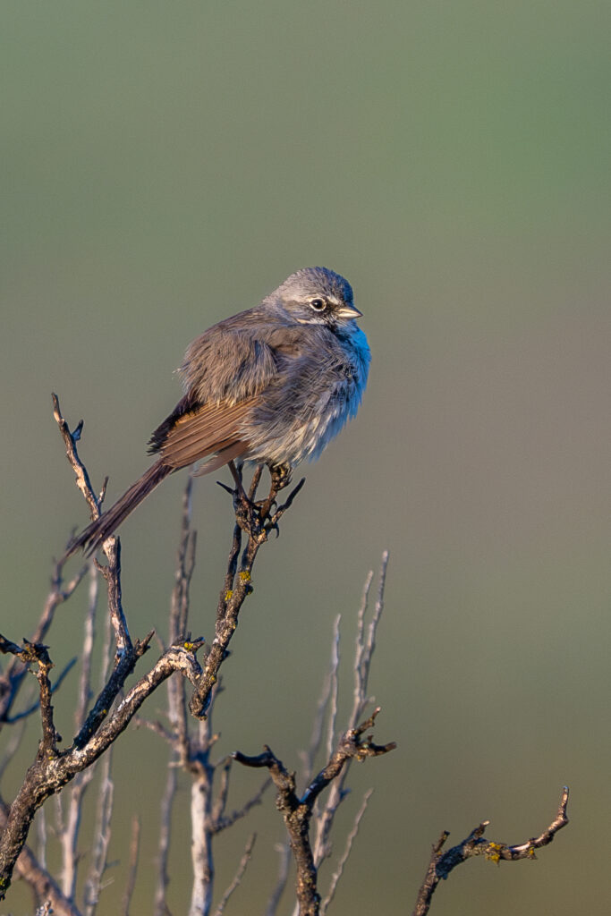
At the boardwalk, where the previous Saturday I’d found dozens of sparrows (mostly Savannahs and White-crowneds), scores of meadowlarks, and even a pair of hunting Short-eared Owls, today there seemed to be relatively fewer birds. But on the other hand, given that I could see much better (a clear sunny morning as opposed to a fogbound landscape), I was able to find and photograph another of the birds I’d been hoping to see, Bell’s Sparrow. I didn’t get portrait-quality photos, but I was easily able to tell what I’d found.
Our objective for this trip was to find the Lark Bunting stake out, which I knew was somewhere along Soda Lake Road, but owing to inattentiveness on my part on previous trips, and the fact that I hadn’t bothered to print out a paper map, I hadn’t ever found in person. (Travel tip: unless you have a true satellite-reading GPS unit, you’d better have a paper map with you; there is very little cell service in the monument. It’s good at the education center but almost nowhere else.) The stakeout is about 10 miles from the education center, and a mile or so before the KCL campground turnoff. When you’ve never been there before, it feels farther than it is. (Are we there yet? No. How about now?…)
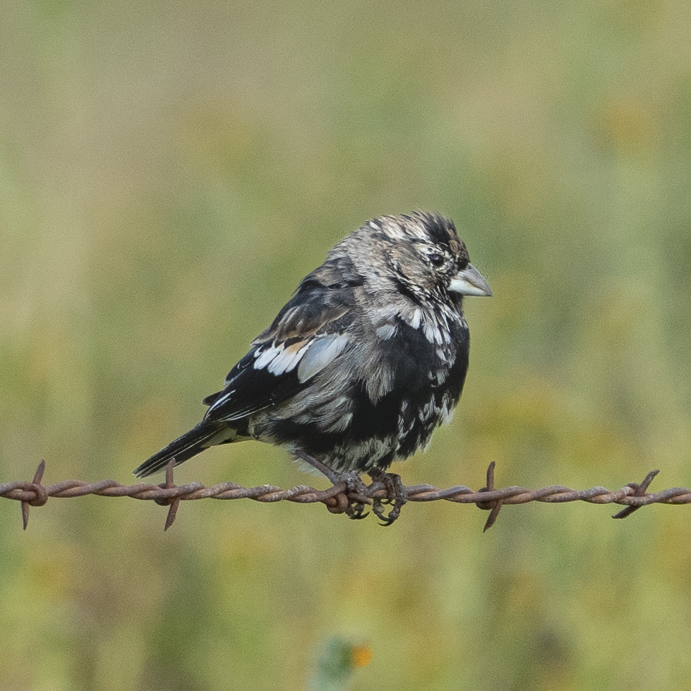
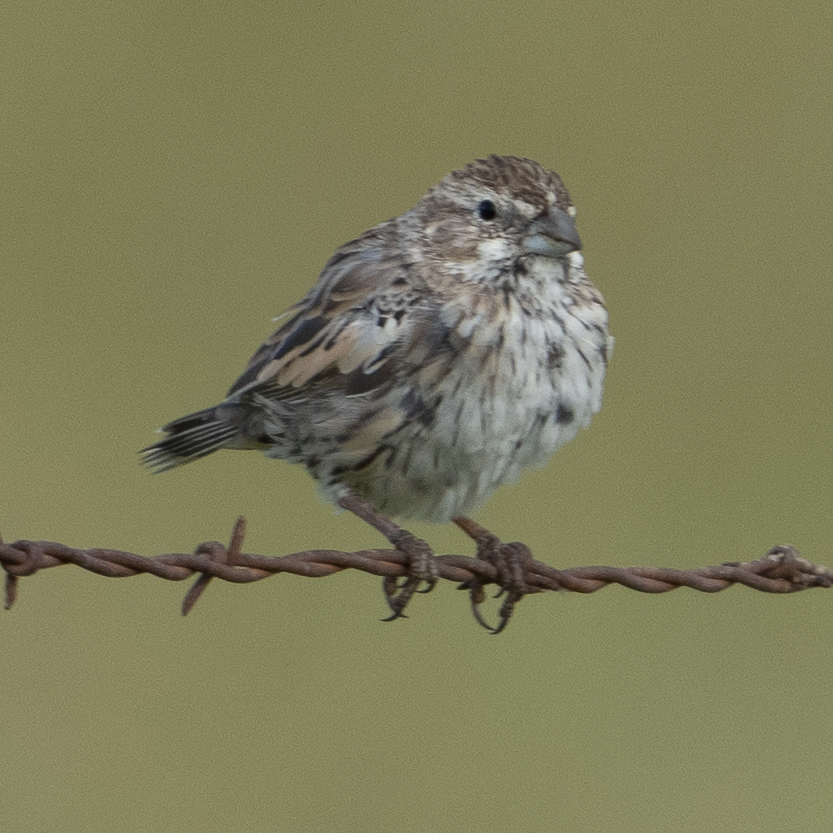
So we set out from Soda Lake and drove southeast along the road (called Soda Lake Road, appropriately enough) to find the Lark Bunting stakeout, which we eventually managed to do. Neither the GPS display nor the paper map seemed to agree on which side roads we were passing, but at least the latitude and longitude of the site were established, and once we found out how to make the GPS unit display the coordinates, we were golden. And there they were, easy as pie!
At the stakeout, we saw a few buntings along the side of the road, and then a car coming up from the south drove them up to perch along the barbed wire fence to the west. After just a couple of shots, though, another passing car, this one coming from the north, caused them to scatter off the fence and out of reasonable photography distance. So, having accomplished our objectives of finding and photographing the birds, we turned back to the north and headed out.
Since we were passing right when it was about to open, we detoured to the education center, where we bought a few postcards, a t-shirt, and a book about the geology of the plain. And, of course, I managed to be on the wrong side of the building when a Northern Harrier gave Marcella beautiful close-up views. I did manage to get a couple of shots, though:
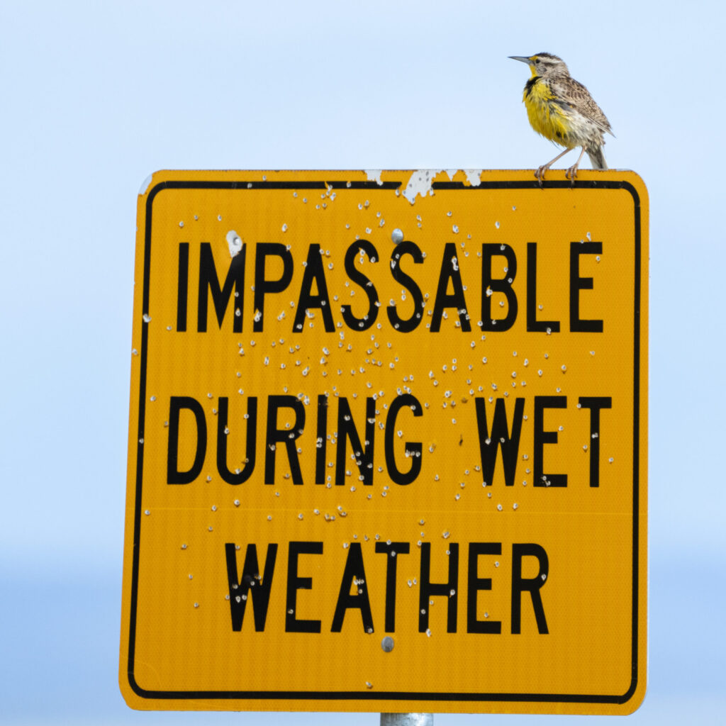
With the storm coming on, we decided to heed the advice of the local birds and get out of there before the rains came through:

